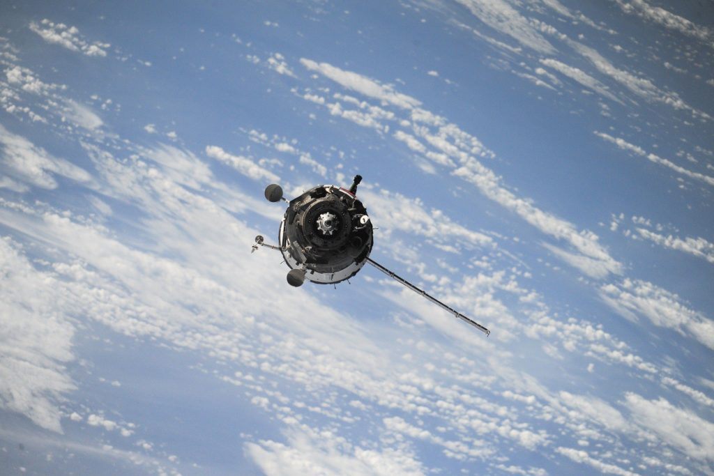
It has been heard for years that satellite mine monitoring has been an effective means of detecting uranium mines and enrichment sites in North Korea and Iran. Now it’s “normal” mining sites that are taking the lead, courting new space technologies and trying to take advantage of them. They have become capable of ensuring complete surveillance of their few kilometers of exploitation from space. In addition, mines are taking full advantage of these new monitoring technologies for water management, but also for compliance and legislative purposes.
Oil sands mines in northern Alberta, an example to follow closely
Oil sands account for 97% of Canada’s total oil reserves. Most of these reserves are located in Alberta. Extracting and refining its deep reserves has always required sophisticated, state-of-the-art technology. The particularities of this process, which make the processing of this resource very complex, force mine site managers to go even further in terms of technology to carry out their operations.
Oil sands mines in northern Alberta use specific technologies to study differences in surface elevation at their sites. Operational mining engineering applications produce elevation maps on a daily basis. These applications process data collected thousands of kilometers away. Three commercial satellites in orbit, owned by the American company Digital Globe and two others owned by the French government, operate weekly and monthly maps for mining companies located in northern Alberta.
These topographic operations are generated from satellite photos captured at one-minute intervals. Inventories, surface differences, landfills, and tailings beaches are then mapped to an accuracy of 20 cm.
Satellite remote sensing, an environmental option
Mining companies are acquiring the best means to perfect their applications. Satellite remote sensing technology is also among the technologies that are gaining ground in the mining industry. This is due to the growing importance of environmental issues.
Satellite remote sensing allows mines to meticulously monitor aquatic resources by observing evaporation over a landscape at different scales. As an example, remote sensing was adopted in South Africa for tailings storage: the objective was to monitor the persistence of moisture and evaporation in these storage facilities.
Having a satellite available gives mining companies a competitive edge
The use of satellites in their operating process is a considerable advantage for mining companies:
Satellite mapping is a key success factor for mines as they are presented today. Satellites have no problem capturing all regions of the world. They are even capable of detecting potential deposits. Moreover, this major asset of the mining industry does not necessarily require a permit or a presence in the region in question. It allows its holder to benefit from international topographical access but also avoids all the bureaucratic delays.
For its part, remote sensing allows companies to consolidate their societal and environmental image. They can also avoid useless expenses at the technical level, through the targeting of boreholes with possible infiltrations. It also gives its users the possibility to connect to it via the Internet anywhere in the world.
The place of technology in the mining industry
Technology continues to be one of the key growth drivers in the mining industry. The use of sophisticated technological tools (such as cartography or remote sensing) represents a great potential for mining operators, hence the importance of keeping abreast of the latest developments and news in the mining field. The number of operational applications is constantly increasing, thanks to the total change in the foundations of this sector.
_
(Featured image by Free-Photos via pixabay)
WARNING: This article was written by a third party contributor and does not reflect the opinion of CAStocks, its management, staff or associates. Please see our disclaimer for more information.
This article may contain forward-looking statements. Forward-looking statements are generally identified by the words “believe”, “plan”, “estimate”, “estimate”, “become”, “plan”, “will” and similar expressions. These forward-looking statements involve known and unknown risks and uncertainties, including those discussed in the following cautionary statements and elsewhere in this article and on this site. Although the Company may believe that its expectations are based on reasonable assumptions, actual results that the Company may achieve may differ materially from the forward-looking statements, which reflect the views of the Company’s management only as of the date hereof. In addition, please ensure that you read this important information.

